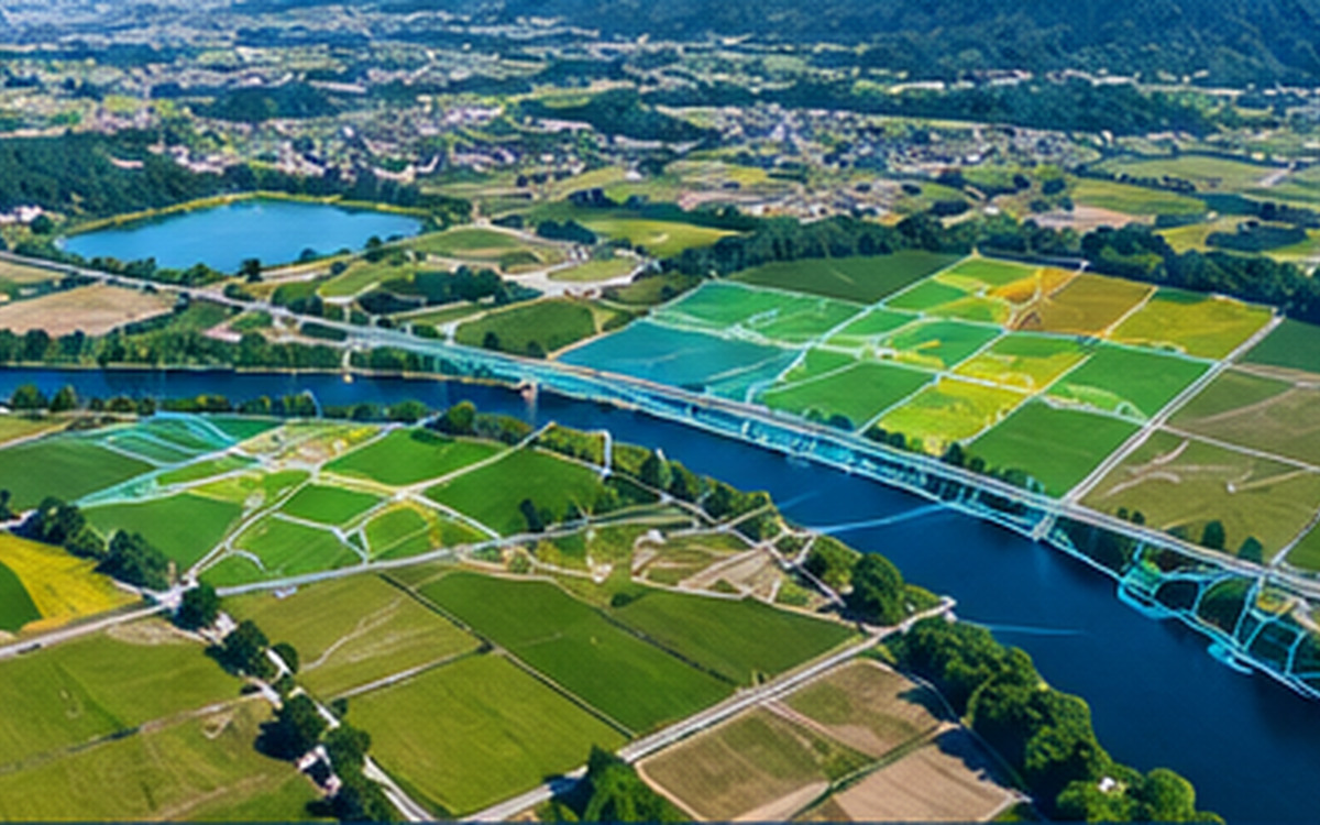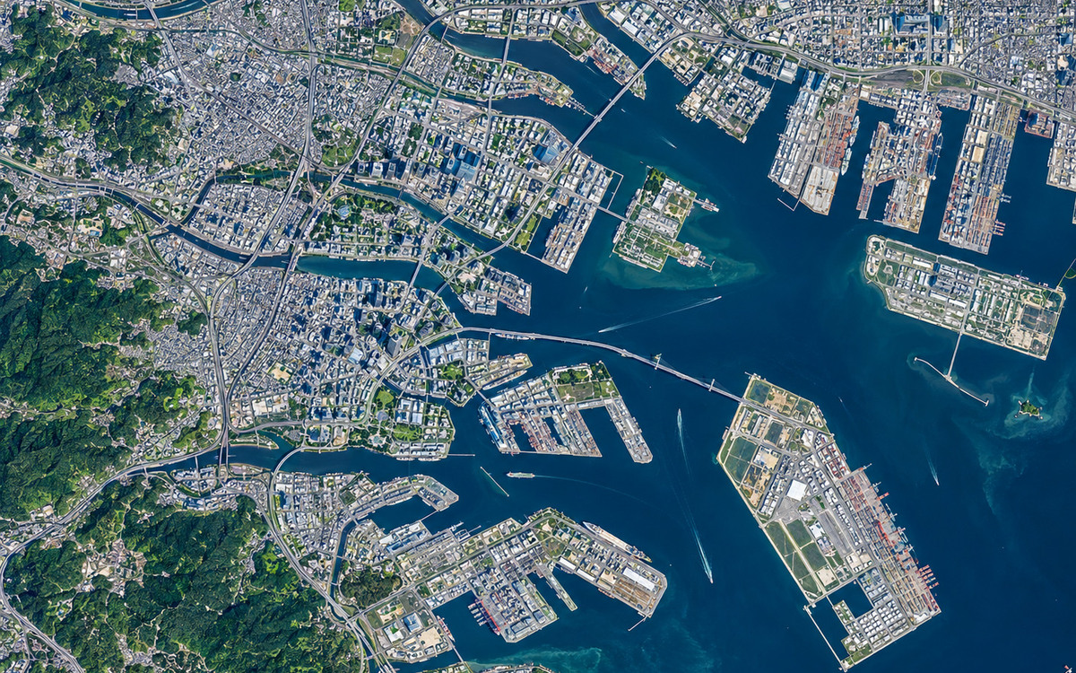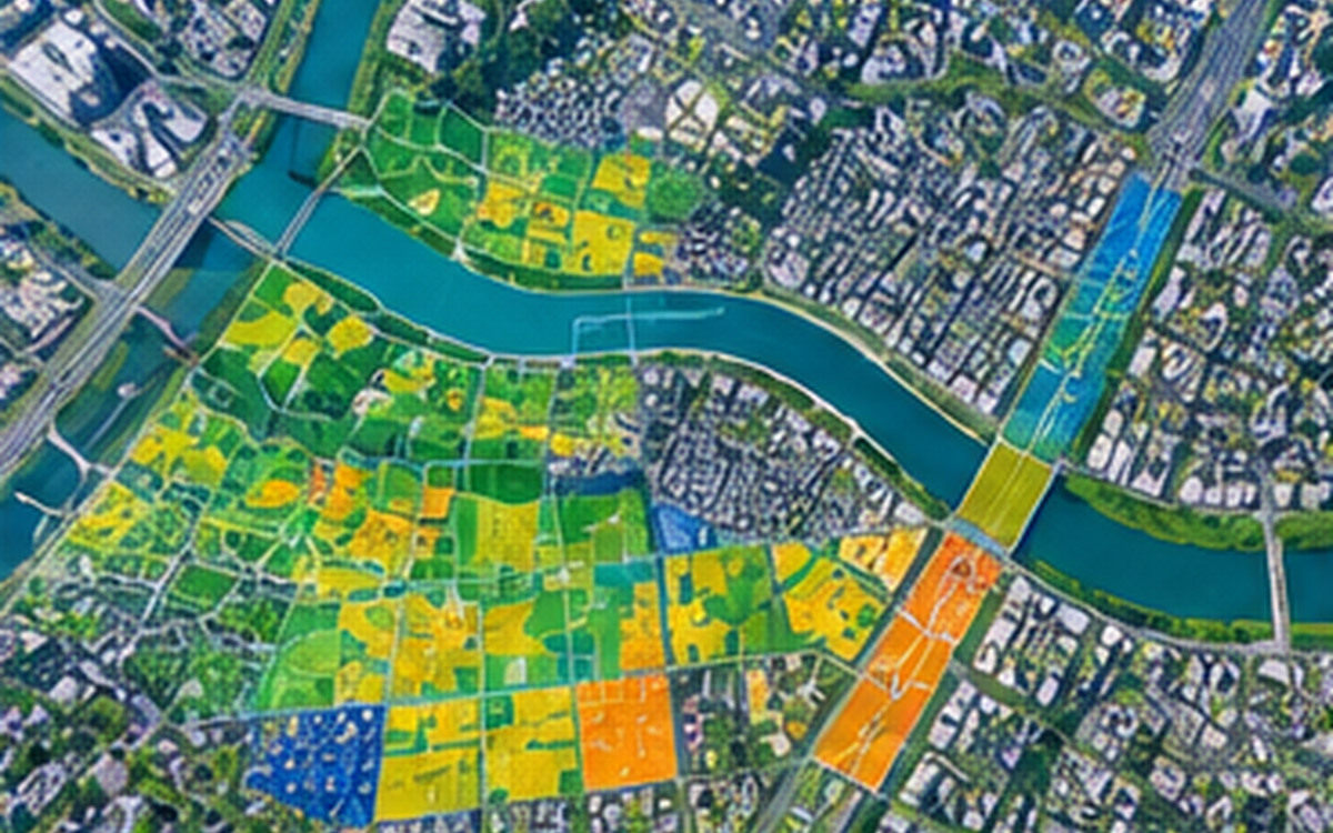
 AI illustration
Business Support for local governments and public offices
Since PASCO's establishment, PASCO has been producing various maps used by utilizing aerial photogrammetry.
View full details
Since PASCO's establishment, PASCO has been producing various maps used by utilizing aerial photogrammetry.
In addition, PASCO provides support for various types of surveys and plans related to maps used for planning and design of social infrastructure.